Monterrey Maps and Orientation
(Monterrey, Nuevo Leon, Mexico)
The capital of Mexico's Nuevo León state, the metropolitan Monterrey area has a population exceeding three million people, making it the country's third biggest city in terms of both size and populous. Monterrey lies on the north-eastern side of Mexico and is a particularly important industrial centre.
Monterrey is located next to the scenic Sierra Madre Oriental mountains, which is a particularly scenic backdrop. The city itself is divided from west to east by the Santa Catarine River (Rio Santa Catarina), although this river remains dry for much of the year and is used for a number of recreational activities.
Maps and Orientation of the City
Central Monterrey is based around the Zona Rose neighbourhood, a highly pedestrianised area where many of the main accommodation options and eateries are to be found. Just over 2 km / 1.5 miles to the north-west of Monterrey city centre is the bus station, where transportation maps are available.
Finding your way around central Monterrey is fairly easy, since this area is organised as a grid pattern. Aramberri is considered to be the very heart of Monterrey and many locations are described in relation to this point, either being suffixed 'norte' (north of Aramberri) or 'sur' (south of Aramberri).
- Agua Fria - north-east
- Cucharas - north
- El Ojo De Agua - south-west
- General Escobedo City - north
- Guadalupe City - south
- Juarez - south-east
- Pesqueria - north-east
- Rancho Hedionda - north-west
- Rancho San Pablo - south
- San Nicolas De Los Garza - north
- San Pedro Garza Garcia - south-west
- Santa Catarina City - west
Map of Mexico

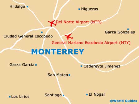
Map of Monterrey